
Trekking Paths
The most beautiful routes between nature and breathtaking views.

Suggested tours
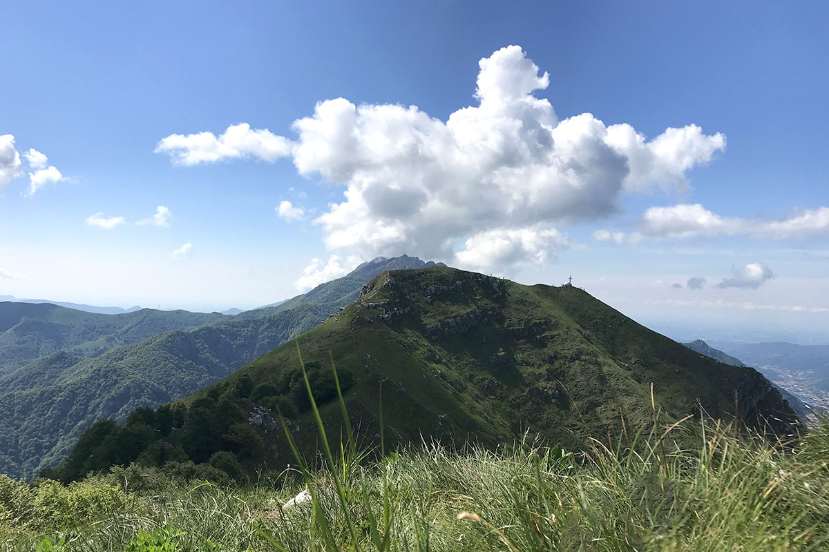
Through panoramic mountains for Zucco di Desio to Monte Due Mani
- Difficulty level: Hiker
- Difference in altitude: 952 m
- Walking time: 2h40' to the top
A ring-shaped tour that goes through the most panoramic spots of the area: Monte Tabor, la Foppa, Zucco di Desio and the crest of Monte Due Mani, with its igloo-shaped bivouac. Accessible all-year round, it’s one of the best tracks of the area.
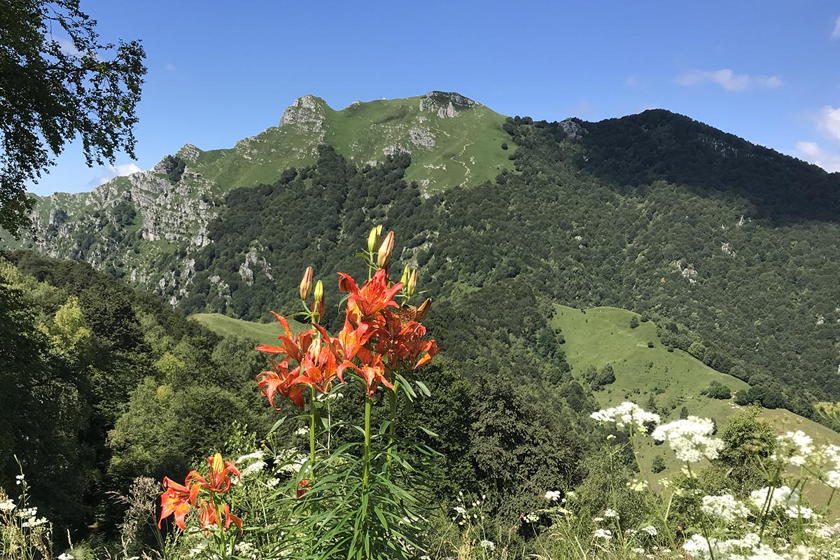
From Culmine di San Pietro to Monte Due Mani: a high altitude walk
- Difficulty level: Hiker
- Difference in altitude: 929 m
- Walking time: 2h to the top
A track of average difficulty that starts from Culmine di S. Pietro and leads to the top of Monte Due Mani. On the top it is possible to admire the igloo bivouac: after a short challenging stretch, the 360 view is absolutely memorable.
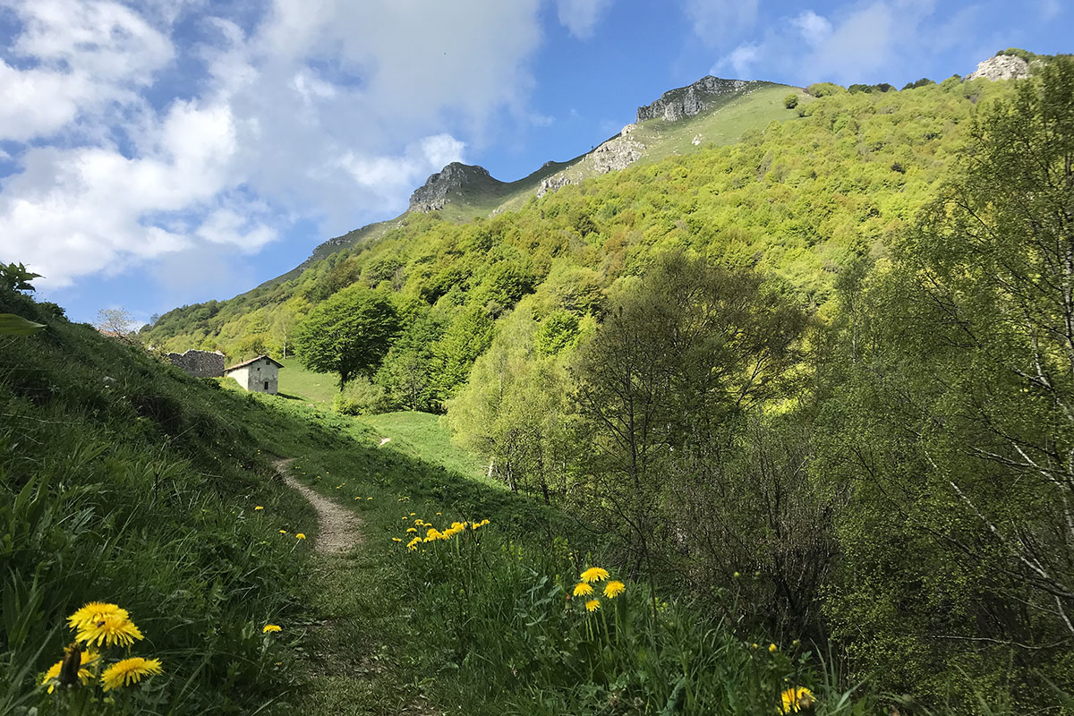
Monte Due Mani for the Grignoni Valley: between huts and traditions
- Difficulty level: Hiker
- Difference in altitude: 1008 m
- Walking time: 2h45' to the top
This ring-shaped tour leads to the top of Mount Due Mani, the highest peak of the area. The mule tracks and trails go through the Valle dei Grignoni, between the uncontaminated nature and the traces of old traditions.
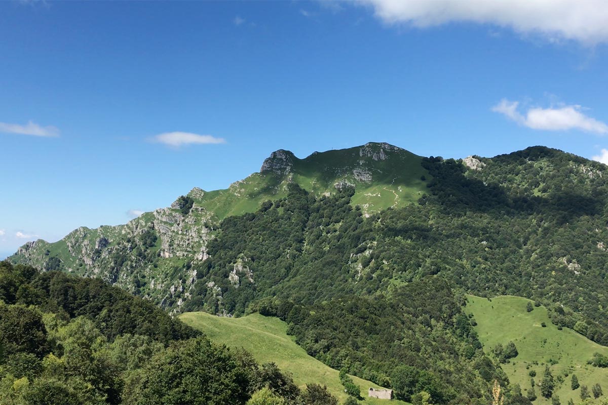
Ring-shaped tour from Forcella di Olino to Monte Due Mani
- Difficulty level: Touristic / Hiker at the top
- Difference in altitude: 894 m
- Walking time: 2h15' to the top
In between woods, rivers and rangelands, this ring-shaped trail connects the Forcella di Olino to Monte Due Mani. The view of the valleys is wonderful, and it’s accessible to anyone as it is not difficult.
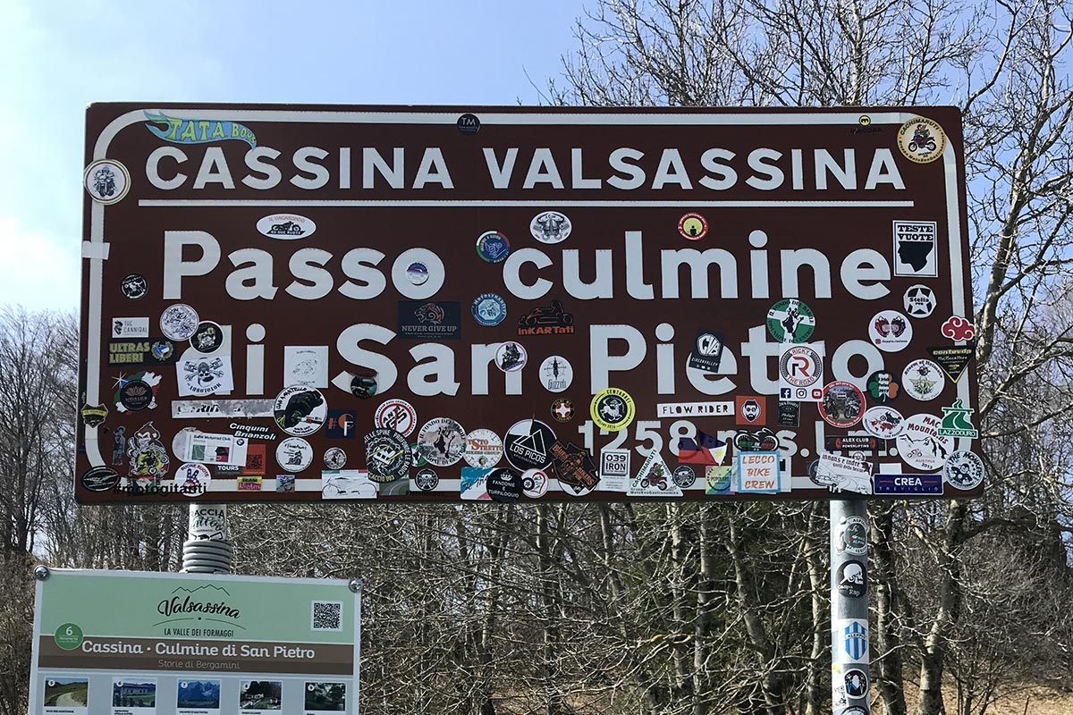
Ring-shaped tour from Maggio to Culmine di San Pietro
- Difficulty level: Touristic
- Difference in altitude: 712 m
- Walking time: 1h10' to the Culmine
In between woods, rivers and rangelands, this ring-shaped trail connects the Forcella di Olino to Monte Due Mani. The view of the valleys is wonderful, and it’s accessible to anyone as it is not difficult.
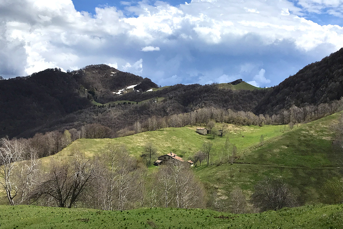
Ring-shaped tour from Valle Dongoli to Cima di Ferrera – Expert
- Difficulty level: Expert hiker
- Difference in altitude: 634 m
- Walking time: 1h45' to the top
For those who love a more challenging kind of trekking, this trail will lead you to Ferrara peak through the Dongoli Valley. The panoramic view shows the North side of Resegone, after a steep path between green fields and rocks.
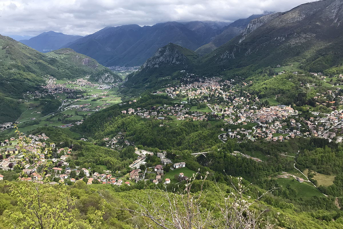
Ring-shaped tour from Cremeno to Maggio
- Difficulty level: Touristic
- Difference in altitude: 284 m
- Walking time: 1h15'
This ring-shaped trail connects the town center of Cremeno to Maggio, through the characteristic town roads. The tour is easy and will lead to the discovery of the town centers.
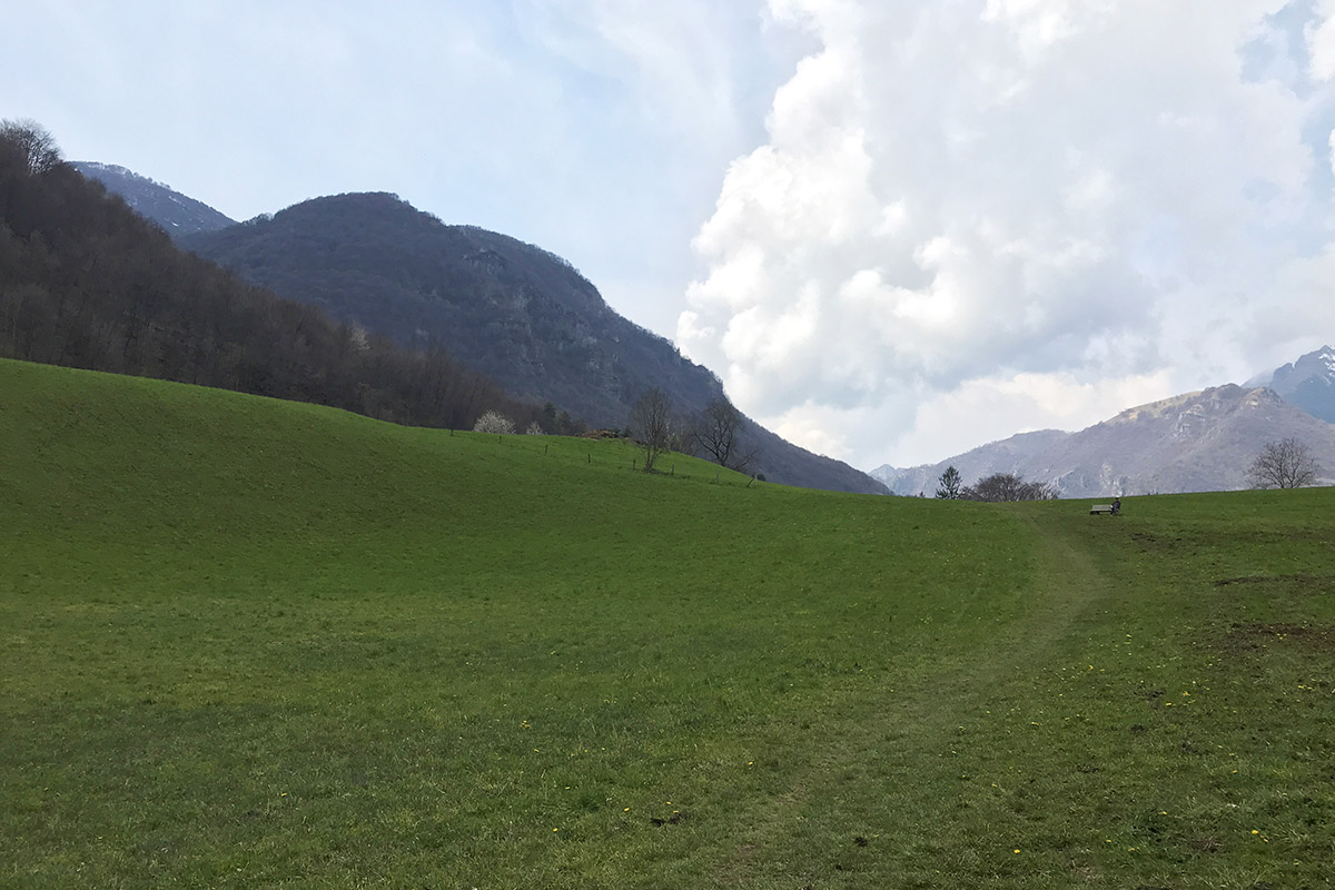
Low ring-shaped tour Maggio/Valle Desio: discover the farmhouses from the past
- Difficulty level: Touristic
- Difference in altitude: 166 m
- Walking time: 1h
A ring-shaped tour to Valle di Desio: starting from Maggio, specifically from Tonalli di Sopra, the tour is made of short, flat paths, suitable for families.
