DIFFICULTY LEVEL: Touristic / Hiker at the top
DIFFERENCE IN ALTITUDE: 894 m
WALKING TIME: 2h15' to the top
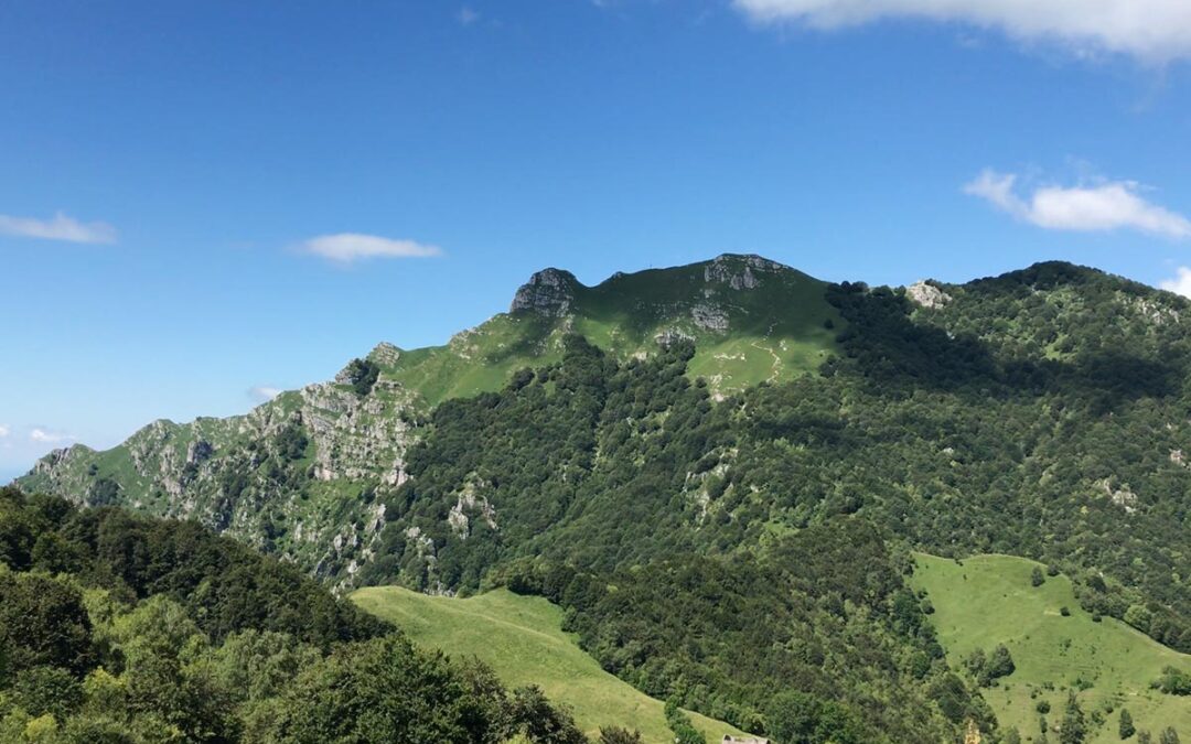
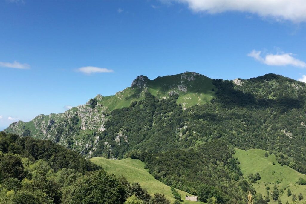
Forcella di Olino - Ca’ Mus’ciada - Bocchetta di Redondello - Bocchetta di Desio - Monte Due Mani - Bocchetta di Desio - road to Morterone - Forcella di Olino
This itinerary leads to Monte Due Mani (1.666 m) starting from Forcella di Olino and passing through the road that connects Ballabio to Morterone, remaining at a high altitude.
Park near Forcella di Olino and go past the tunnel on the left, the itinerary starts on a path that leads to the locality Cà Musciada, at a high altitude. Then continue to Bocchetta di Redondello and, through the beech tree forest, arrive at Bocchetta di Desio. The last stretch of the route to Bivacco Locatelli is the most challenging part. To return to the starting point, descend in the direction of Bocchetta di Desio and follow the path on the right, in the direction of Olino, that, through woods and streams, leads in a short time to the paved road. Follow it until Forcella di Olino to conclude the ring.
The itinerary does not present any particular difficulties and there’s little difference in altitude, except for the ascent and descent from the summit.